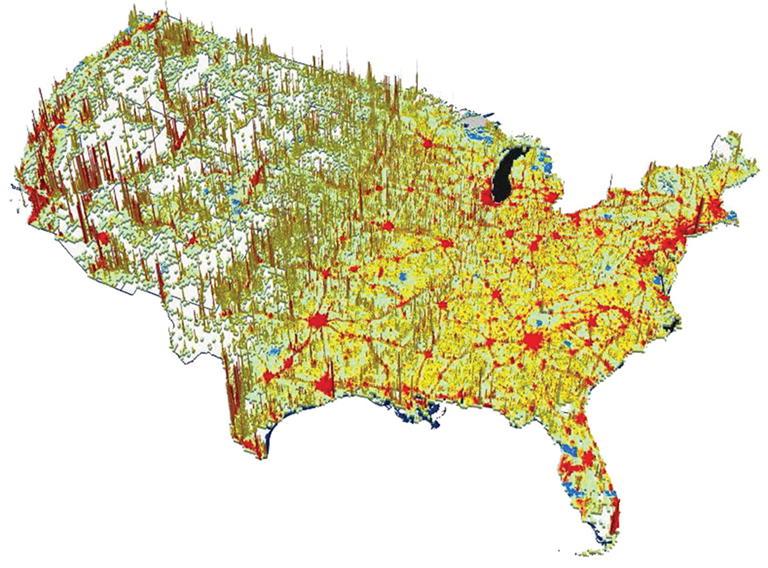
Developed by the Oak Ridge National Laboratory (ORNL), LandCast 2030 and 2050 Population Projections model future national-level human population densities. LandCast builds on the intelligent dasymetric modeling techniques used by LandScan Global and LandScan USA to down-scale national level population projections and model spatial population growth at the local level.
The LandCast models estimate the probability of a population being at a particular location, which measures where people will likely be in the future, not necessarily their places of residence. The LandCast data sets are an empirically-informed spatial distribution of projected population of the contiguous U.S. for 2030 and 2050 compiled on a 30” x 30” latitude/longitude grid. Projected census counts were apportioned to each grid cell based on locally adaptive likelihood coefficients, which are based on land cover, slope, road proximity, distances to larger cities, a moving average of current population, and other data sets.