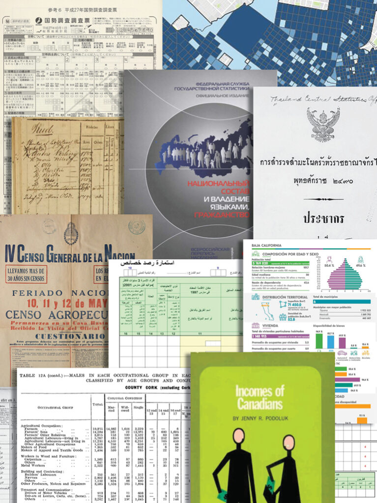
International Online Resources

LandScan

The LandScan Global Population Databases, developed at the Department of Energy's Oak Ridge National Laboratory, represent the finest resolution global population distribution databases available. Offering the most accurate and reliable, geographically based, population distribution model, LandScan is a useful application in research, educational, humanitarian and corporate settings.

Find out more or contact East View for a trial.

World News Connection

Monitor today’s news from abroad in the same format seen by Washington policymakers. The World News Connection is unfiltered press dispatches from non-U.S. media sources, in English.

World News Connection is an electronic library resource that translates and delivers information from Beijing, Beirut, Bogota, Cairo, Jakarta, Iraq, Mogadishu, Qatar, Ramallah, Sarajevo, Vienna, and hundreds of other datelines every day.

Access includes articles going back to 2003, all in English, translated by the US Government with over 300 sources—from Al Jazeera to Der Spiegel and Radio France Internationale— right in your Web browser. 

News sources include newspapers, TV, radio, magazines, conferences and other reports covering the entire world or
for regions you choose:

  • Africa—North, Sub-Saharan, Western
  • Asia—East, South, Near/Middle
  • Central Asia/Caucasus
  • Europe—Western, Central/Eastern
  • Latin America/Caribbean
  • Southeast Asia/Oceania

The material in World News Connection is gathered by the Foreign Broadcast Information Service (FBIS).  FBIS is a United States government operation which translates the thousands of foreign media reports from daily broadcasts, government statements, and select news stories from non-English sources around the world.

Terrain Analysis of Afghanistan eBook

In English Terrain Analysis of Afghanistan provides detailed local terrain analysis reports covering the entire area of Afghanistan, including border regions. 

Each chapter corresponds to a geographic area described by individual Soviet/Russian topographic maps at 1:200,000 scale, with chapter names based on the largest population center for that area.  The individual 200k map sheets contain thousands of geographic place names translated into English in accordance with the U.S. Board of Geographic Names standards. 

Fingertip access to once-classified intelligence on:

  • Populated places:  from small towns and villages to major cities, local road conditions, building characteristics, water resources, housing density, sanitary conditions, telecommunications infrastructure, population levels.
  • Roads and bridges:  Load capacities, surface type (e.g. dirt, gravel, asphalt) and width, elevation, and seasonal conditions.
  • Topography and Soil Conditions:  Altitude and slope characteristics for mountainous areas, types of soils (e.g. sandy, clay), water tables, and seismic activity.
  • Hydrology:  Major rivers, widths, depths, and flow rates, banks/islands, silting, freezing pollution, and conditions affecting use.
  • Vegetation:  Grassy, forested shrubs, tree heights and types, predominant types of grasses, and crops cultivated.
  • Climate:  Temperature range by season, snow, rainfall, and wind conditions.

These detailed surveys have never been previously published in English and provide a fresh, accurate description of the local terrain environment, representing an invaluable resource for companies, government agencies, NGOs, and other groups who are or will be involved in the reconstruction and humanitarian efforts.

Online Serials

E-Books