MapVault

Streaming access to thousands of basemaps
Explore the World with MapVault

MapVault® is a subscription-based service providing access to 500,000+ georeferenced map sheets in over 1,000 authoritative map series—without the costs of procuring, storing and digitizing physical maps. This unparalleled streaming service delivers immediate access to East View Geospatial’s extensive raster map collection—the world’s most comprehensive commercially-owned geospatial library.

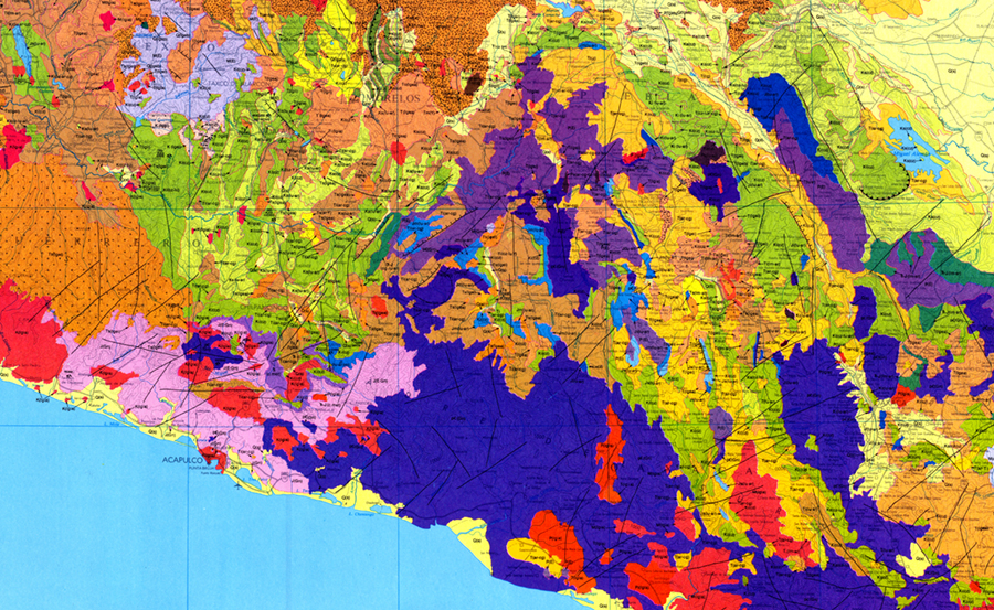
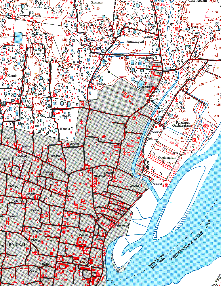
MapVault delivers quick and easy access to the world’s map series and features topographic, nautical, aeronautical, and geological map series from all over the world. All scales. All languages. All countries. Current and historical. Federal government, local government, military and commercially published. MapVault has it all. Subscribe to single map series or large packages of related series.

With MapVault, the discovery and analysis of map content is made profoundly easier than the traditional struggle with paper maps or individually digitized map sheets. Customize MapVault to include map series covering your exact areas of interest, or contact us about adding your own resources to the platform.

View an introduction to MapVault

Access Map Data Anytime, Anywhere

With MapVault, we’ve taken the time and cost out of creating a fast, easy and accessible environment for users to discover and utilize maps. Robust metadata makes finding the right maps easy: every map series is accompanied by an index map and fully attributed metadata formatted to ISO record specifications, and sheet-level metadata is provided for individual map sheets within series, including sheet name, number and publication date.

MapVault is easily integrated into GIS software. Access the MapVault catalog over the internet or through any WMTS connection, or download layer files formatted specifically for ArcGIS Desktop, QGIS, Global Mapper or other open-source GIS packages.

Explore the free MapVault demo site

Enhance Your Work with Reliable, Authoritative Data

Ready-to-use map tilesets let you focus on analysis, not on production. GIS and non-GIS specialists alike can use MapVault tilesets to enhance their research, presentations, and publications with striking visuals that also add explanatory value.

MapVault FAQs

How do I access MapVault?

Users can access MapVault over the internet through a URL (apps.geospatial.com/MapVault) or a WMTS connection.  Individual map series can be accessed through the MapVault platform or via an ESRI Layer File or QGIS Layer File.

How often is new content added to MapVault?

New maps are uploaded to MapVault on a regular basis. If new content is added to the package(s) to which you subscribe, you will have access to this content without any additional cost.

Can I add my institution’s own data to MapVault?

Yes!  Let us know what you need on the platform—we may already have it available or in production.  And if not, we have a solution to rapidly make it available to you.

Can I host my MapVault data locally?

Yes!  Tiled data sets can be rather large and numerous such sets quickly leads to storage requirements of many terabytes. But if your organization requires this for preservation or security reasons, we can help you.

Does MapVault provide metadata for its content?

Yes!  An ISO record is available for every map series to download in XML format.  In general, sheet publication dates, sheet names and sheet numbers are available for all individual map sheets in an on-screen, realtime mode by enabling the “Show Sheets” feature.

How do I cite MapVault data in my paper or presentation?

Each map series has a permanent URL and is accompanied by an MLA and APA citation, allowing users to quickly and accurately cite MapVault data.
Interested in more information?

  • This field is for validation purposes and should be left unchanged.