What Kinds of Materials Are Included
in Global Census Archive?
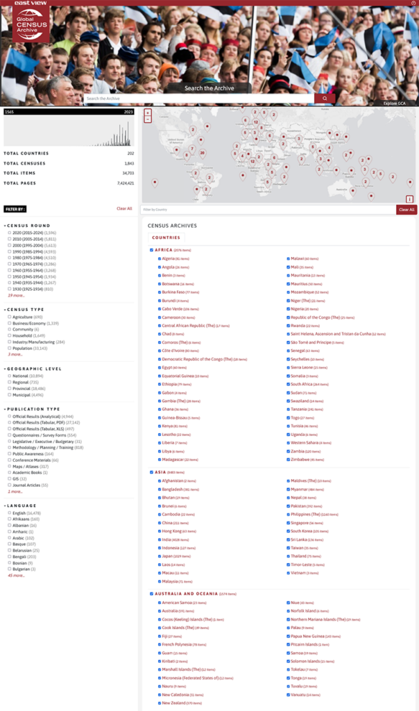
Global Census Archive provides a centralized platform for all available published content that accompanies the release of a census. There are three broad categories for the types of materials that appear in Global Census Archive: publications, tabular data, and GIS data.
Publications
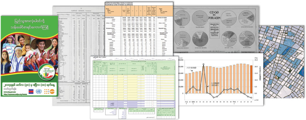
It’s not just books, especially in the modern era, where census publications now range from questionnaires used by the census authority to other materials, such as analytical results, maps, and public awareness brochures. Publications contain rich information about the methodology employed by a census authority and other additional insights that allow researchers to catch a glimpse of priorities and challenges of a given society at a specific point in time. Below is a list of some examples of publications that can be found within a census:
- Official results (analytical)
- Questionnaires
- Survey forms
- Maps, atlases
- Methodological and preparatory works
- Public campaign literature
- Newspaper and journal articles
- Conference materials
- Legislative works
- MARC records (available upon request)
Censuses produce information that is a meaningful complement to other qualitative data types from the same period, such as news media, that occurred simultaneously with the census to give deep historical context of a single country. Additionally, GCA provides incredibly large data sets for analyzing macro trends in a given census round to deliver wide coverage across multiple countries or regions.
Tabular Data
East View presents the original, unaltered tables as offered in the original book-style publications as PDFs that are both viewable directly on the platform and can be downloaded locally. Furthermore, East View also offers digital files of tabular data as made available by a nation’s official census authority. These Excel files are downloadable straight from the GCA platform to a researcher’s device where more robust statistical analysis can be performed.
GIS Data
Since the 2000s, authorities around the world have increasingly made their census outputs available as geographic information system (GIS) data. East View acquires the official outputs and formats the data into an easy-to-use geodatabase. These East View-created datasets are tailor-made for instant analysis and visualization using any GIS software. GIS datasets on the GCA platform include:
- Administrative boundary vector data
- Feature classes
- Shapefiles
- Full attribute level metadata
- A GIS data dictionary with native language and English-translated variables
All data and files are hosted on the platform itself. No need to worry about storing data within your institution. Researchers have easy access to GIS data and can download individual components of the dataset with the click of a button.
Download GIS data title list | View demo of GIS census data